Pull up Google Maps and ask it to route you from New York City to Los Angeles. It'll spit back a clean answer: roughly 2,800 miles, about 40 hours of drive time, maybe four or five days if you're taking it easy. Book a few motels, grab some snacks, and you're basically set.
Now try to imagine doing that same trip in 1952. No Interstate Highway System. No GPS. No national chain rest stops with clean bathrooms and hot coffee. Just a paper road atlas, a car that might or might not survive the Rockies, and the hope that the guy at the last gas station gave you good directions.
The difference between those two versions of the same journey tells you a lot about how dramatically the country has changed — and how quickly we've forgotten what it used to cost to simply cross it.
The Roads That Didn't Exist Yet
The Interstate Highway System, the network of controlled-access highways that most Americans now treat as a birthright, didn't begin construction until 1956. Before President Eisenhower signed the Federal Aid Highway Act that year, cross-country travel relied on a patchwork of state routes, US highways, and local roads that varied wildly in quality depending on where you were.
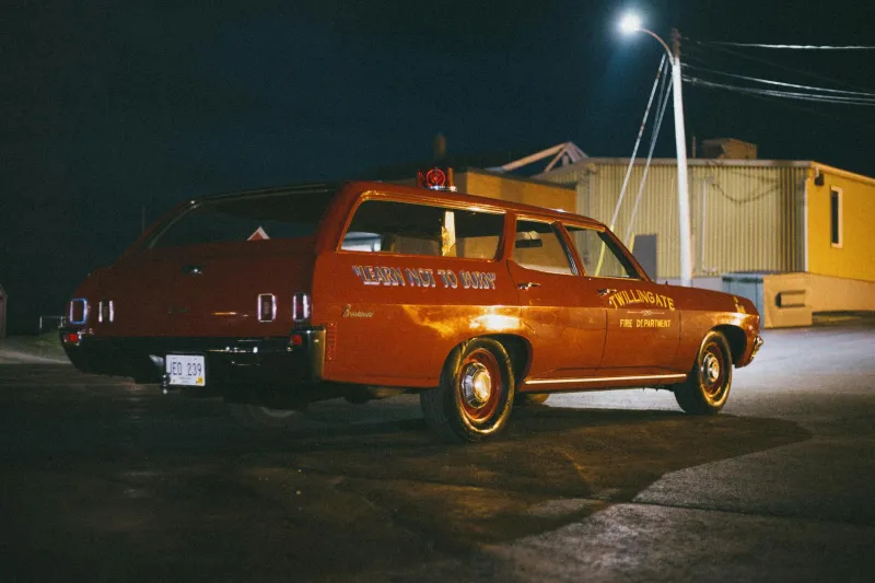
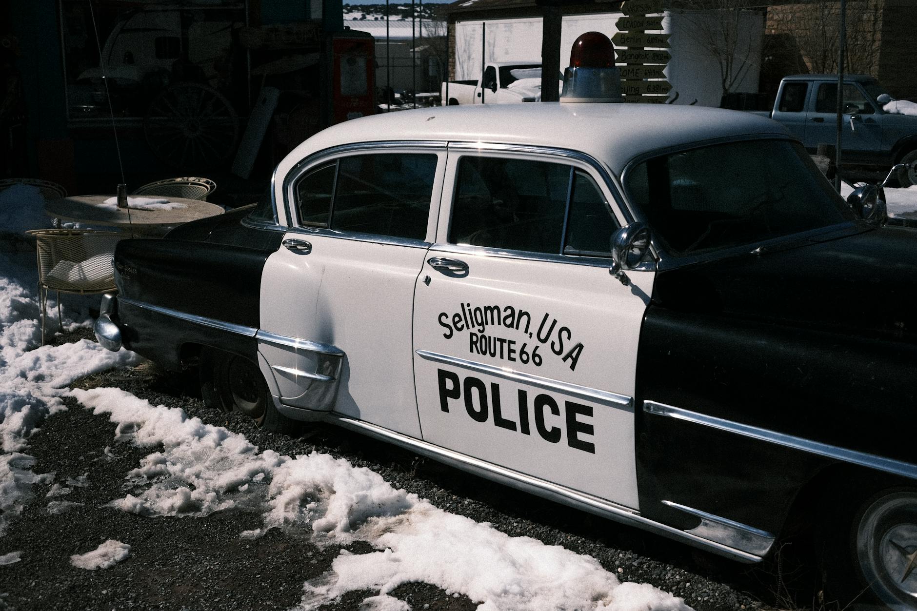
Route 66 — the famous "Main Street of America" running from Chicago to Santa Monica — was a cultural icon, but it was also a two-lane road that ran straight through the middle of every small town along the way. Traffic lights, cattle crossings, and the occasional unpaved stretch were all part of the deal. Average speeds on long-distance trips hovered around 35 to 45 miles per hour when everything was going well.
A coast-to-coast drive in the early 1950s realistically took two to three weeks for a family making reasonable daily progress. Some stretches — particularly through the desert Southwest and the mountain passes — required genuine planning around weather, altitude, and the limitations of postwar-era vehicles that weren't exactly engineered for endurance.
Navigation Was a Social Activity
Here's something that gets lost in the modern telling: before GPS and even before reliable road atlases became widely available, navigation was partly a community exercise. Drivers stopped at gas stations not just to fill up but to ask questions. Which road is better this time of year? Is the pass open? How far to the next town with a motel?
The AAA TripTik — a custom strip map that the American Automobile Association would prepare for members — was considered a premium service. You'd visit a local AAA office, describe your intended route, and they'd hand you a spiral-bound booklet of hand-annotated maps tailored to your trip. It was genuinely useful, and it was also about as high-tech as navigation got for most American families.
Getting lost wasn't a minor inconvenience. In remote stretches of Nevada or West Texas, a wrong turn could mean running low on fuel with no town in sight for 60 miles. People carried extra water, spare fan belts, and basic tool kits as standard equipment — not because they were paranoid, but because the infrastructure simply didn't exist to bail you out if something went wrong.
What the Interstate Actually Changed
When the Interstate System started coming together through the late 1950s and into the 1960s, it didn't just speed things up — it fundamentally redesigned the relationship between Americans and distance. Controlled-access highways bypassed town centers, eliminated traffic signals, and allowed sustained highway speeds that were simply impossible on older routes.
By the 1970s, a coast-to-coast trip had compressed from a multi-week undertaking to something a determined driver could complete in four or five days. The 55 mph national speed limit, introduced during the 1974 oil crisis, slowed things down temporarily, but the infrastructure was in place. The country had effectively gotten smaller.
Rest areas, standardized signage, and eventually the explosion of highway-adjacent services — gas stations, fast food chains, motels — turned the road trip into something approaching a comfortable consumer experience rather than a logistical challenge.
The GPS Revolution and What Came After
If the Interstate System was the first great leap, GPS was the second. Consumer navigation devices started appearing in the early 2000s, and by the time smartphones became universal in the early 2010s, the last remaining skill of traditional road travel — knowing where you were — had been automated away.
Today's cross-country driver gets real-time traffic updates, rerouting around accidents, estimated arrival times accurate to the minute, and Yelp reviews for every diner within five miles. The cognitive load of long-distance driving has been reduced to something close to following instructions.
That's genuinely remarkable. It's also worth pausing on, because the ease of it obscures how recent the change is. Someone who drove cross-country in 1958 and is still alive today watched the entire transformation happen within a single lifetime.
The Trip That Became a Weekend
What was once a serious expedition — something families saved for, planned over months, and talked about for years afterward — is now a long weekend option. College students drive cross-country on a whim. Remote workers relocate with a loaded hatchback and an ETA on their phone.
None of that is bad. It's one of the cleaner examples of progress making life genuinely easier. But there's something worth appreciating in the contrast: the same miles that once required weeks of preparation and carried real risk are now just a playlist and a phone mount away.
The road didn't get shorter. Everything around it just got a lot better at handling the distance.