Before the Blue Dot: The Road Trips That Required Real Courage
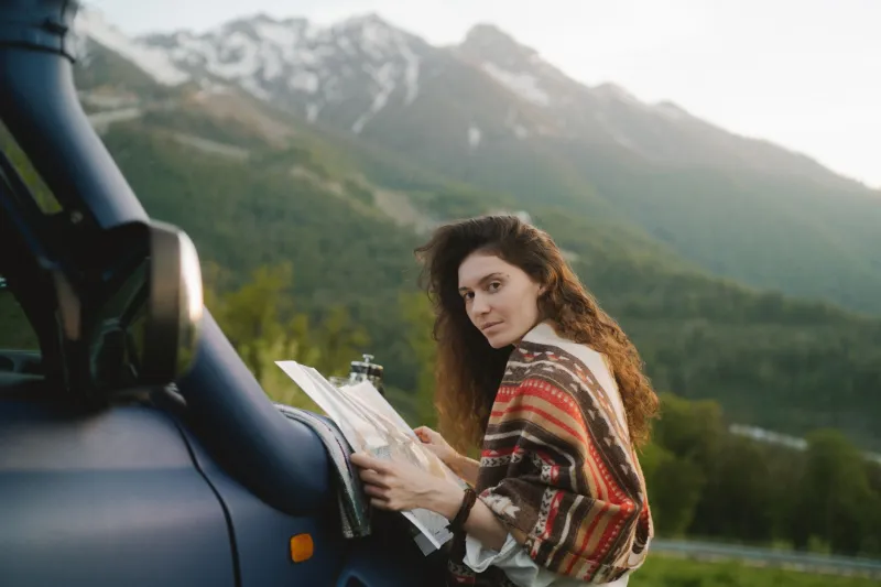
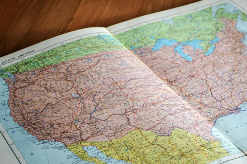
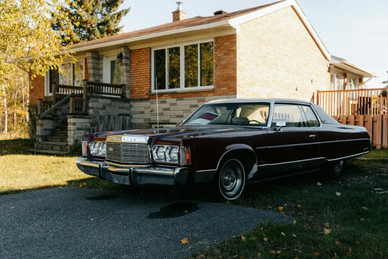
Picture this: it's 1985, and a family of four is packed into a station wagon somewhere outside of Tulsa. Dad is squinting at a road atlas the size of a placemat, Mom is navigating from the passenger seat with one finger pinned to a two-lane highway, and the kids are arguing about whose turn it is to hold the map. Nobody knows exactly where they are. And somehow, that's fine.
Today, that same family would glide down I-44 with a calm voice announcing every turn three miles in advance. It's safer, faster, and undeniably smarter. But it's worth asking what got left behind on the shoulder.
Navigation Used to Be a Team Sport
Before the blue dot, getting across the country was a genuinely collaborative effort. The driver handled the wheel. The navigator handled the map. Everyone else kept an eye out for highway signs, town names, and mile markers that confirmed you hadn't wandered off into the Ozarks by mistake.
Trip planning was its own ritual. Families ordered free state maps from welcome centers. Travel agencies mailed AAA TripTiks — those hand-highlighted routes that were, in hindsight, the original personalized navigation. You'd sit at the kitchen table weeks in advance and trace your route with a highlighter, estimating arrival times with a pencil and a rough guess about speed.
And then there was the great American fallback: the gas station. When the map failed or the detour swallowed the route whole, you pulled off the highway, found a attendant or a cashier, and asked a stranger for directions. These conversations were a whole genre of American life — "Take a left at the old feed store, then go 'bout four miles past where the Johnson place used to be."
That advice was often wrong. Sometimes gloriously so. But it came with local color, a recommendation for a diner, and a story about the flood of '72 that washed out that same road.
The MapQuest Interlude
For a brief golden window in the late '90s and 2000s, there was MapQuest. You printed your directions at home — usually eight pages, because the printer always included a map of the entire continent at the end — and the designated passenger read aloud: "In 0.4 miles, merge onto Route 15 North."
It was a strange middle era. You had digital precision but no live feedback. Miss one turn and the whole paper stack became a puzzle. There was no rerouting, no traffic alert, no little arrow telling you that you'd just driven past your exit. You simply had to figure it out, often while a sibling in the back seat insisted you had already passed the turn.
What We Lost When We Stopped Getting Lost
Here's the thing about unplanned detours: they made up a shocking percentage of the best road trip memories. The roadside diner discovered because of a wrong exit. The small-town festival stumbled into because the interstate was closed. The hour-long wrong turn that turned into the family story told at every Thanksgiving for thirty years.
Travel writers have a term for this — serendipity — and GPS has largely engineered it out of the journey. When the app optimizes for the fastest route, you never see the town two miles off the highway. You never stop where the map happened to run out.
There's also a quieter loss: our own internal compass. Studies of London taxi drivers — who famously must memorize the entire city, a test called "The Knowledge" — show their brains physically develop larger regions tied to spatial memory. Regular navigation, it turns out, is a workout. Most of us have quietly quit the gym.
Ask anyone under 25 to drive to a familiar place with the phone face-down and watch the mild panic set in. The sense of direction our grandparents maintained through sheer repetition has been outsourced entirely.
The Case for the Detour
To be clear, nobody's arguing we should return to pulling over at gas stations to sketch directions on a napkin. GPS has saved lives, cut down on the terrifying era of reading maps at 70 miles per hour, and made solo travel across unfamiliar states genuinely accessible. For truckers, delivery drivers, and anyone who's ever been stranded, it's nothing short of a revolution.
But there's something worth reclaiming. Take one trip a year with the phone in the glovebox. Let the wrong exit stand. Pull into a town you've never heard of because the sign looked interesting.
The fastest route will always be there tomorrow. The one you didn't plan won't.